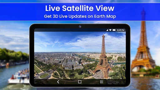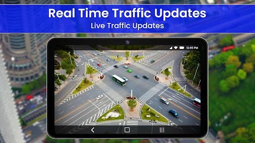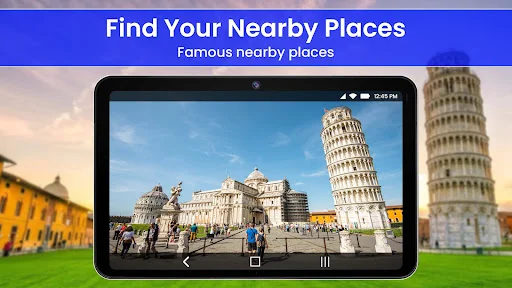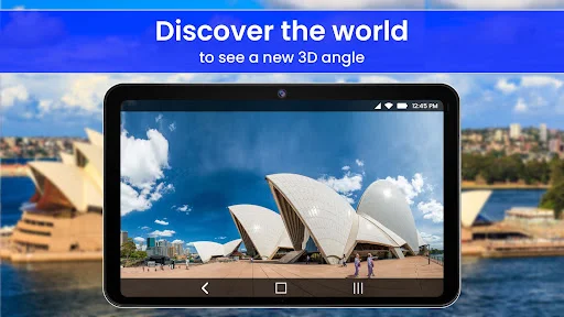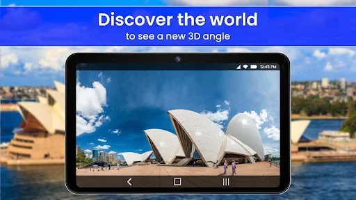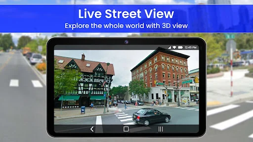
Explore destinations before you arrive with 3D satellite maps and street view, find routes with live traffic updates, discover nearby places, and capture location-tagged memories – all from one powerful navigation app.
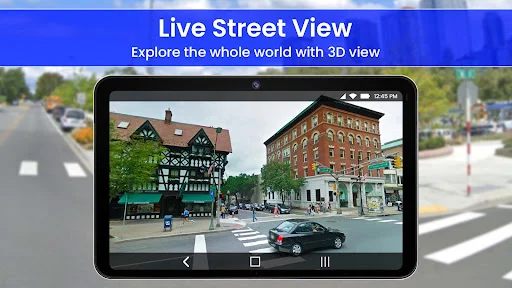
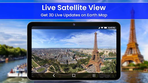
See exactly what places look like before you visit with 3D satellite maps and street-level views. Explore streets, landmarks, and neighborhoods visually so you arrive prepared and confident, whether traveling to a new city or checking out an unfamiliar street.
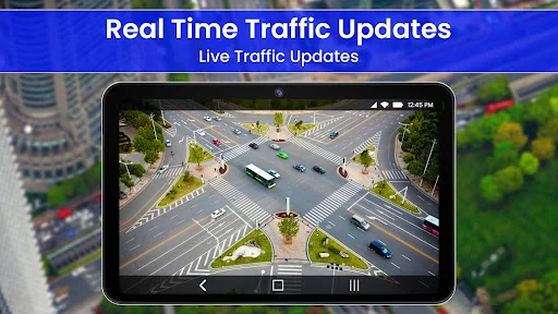
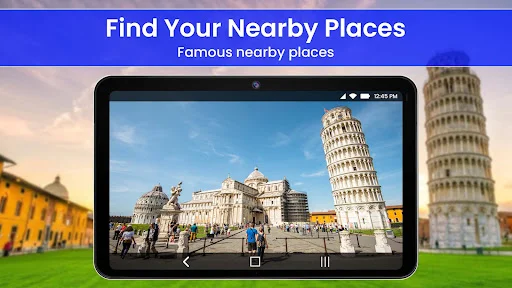
Get accurate directions with live traffic updates and discover essential places nearby like restaurants, gas stations, hospitals, and ATMs. Find the best routes and locate what you need without switching between multiple apps.
Capture photos with exact location details automatically embedded using the GPS camera feature. Never forget where you took that perfect shot or discovered that hidden gem during your travels.
Save parking spots, measure distances, check the weather, use the compass, track your speed, and access currency conversion and translation – everything you need for daily navigation and travel planning in one convenient place.
GPS Navigation And Map Direction will assist you in finding routes, checking your location, viewing map details, and exploring useful places around you. It is helpful for travelers, drivers, tourists, hikers, and daily users who need directions, traffic details, and quick location tools from one app.
3D Satellite Map Live Street View is useful when you want to see a place more clearly before visiting. You can explore streets, popular places, tourist attractions, and landmarks with a more visual map experience.
GPS Camera Live Earth Map helps travelers save moments with useful location context. It can be used when capturing trip photos, outdoor memories, site visits, or places you want to remember with map-based details.
A travel app should help with more than just a route line. You can search for restaurants, ATMs, hospitals, gas stations, hotels, and other nearby places when you are in a new area.
GPS Earth Map: Satellite View supports address search, current location tracking, and map exploration when you need to understand where you are. You can mark a parking spot, check walking or land distance, and measure areas with map tools.
GPS Location: Streetview works well when you want to preview an unfamiliar street, building, or travel spot. The app also includes sunrise and sunset details, local weather, currency conversion, language translation, country information, a digital compass, and a speedometer for walking, cycling, or driving.
3D Satellite Map Live Street View gives you a practical way to explore places before you arrive. GPS Camera Live Earth Map adds location details to your travel memories, while GPS Maps: Live View keeps route search, nearby discovery, and daily navigation tools easy to access.